The Chinese Meteorological Administration (CMA) has released special reports on remote sensing grasshopper attack data in Pakistan, which media reports say can be used to monitor desert grasshoppers and early warning to relevant parties in the country.
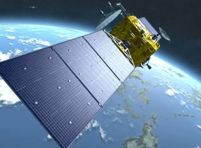
Fengyun series Chinese satellites can generate information on locust analysis by monitoring rain, soil moisture and land surface temperature (LST) changes in African and South Asian countries,China Economic Net (CEN) reported Wednesday.
Read Also: Chinese Duck Army to be used in Pakistan for locusts combat
A warmer and more humid climate promotes the spread of grasshoppers, and studies have also linked wind direction, speed and other weather parameters to grasshopper migration. In addition, Fengyun satellites are useful for assessing vegetation damage.
According to an update from the United Nations Food and Agriculture Organization (FAO), summer swarming of desert swarms has begun in the Pakistani deserts of Tharparkar, Nara and Cholistan, where breeding and feeding will increase later this month.
Flocks of grasshoppers destroyed crops and grasslands, destroying food and vegetation, and threatening food security in Africa, the Arabian Peninsula, and parts of South Asia. The meteorological satellite Fengyun-3 (FY-3) is therefore used to monitor the growth of the plants.
The monitoring data generated by GJ-3 will allow Pakistani researchers to offer a remote sensing-based assessment of vegetation damage in locust-affected areas. According to the CMA, the Pakistan Meteorological Department (PMD) used data from China’s CMACast – an updated satellite data transmission system based on digital video transmission.
In addition, data collected by the Chinese MICAPS (Meteorological Information Comprehensive Analysis and Process System) was used by Pakistan to analyze and forecast the weather for relevant institutions and the public.
The number of countries using Fengyun satellite data has increased to 108 by May 2020 (including 75 countries participating in BRI), and 30 countries have set up ground stations to send and receive information to and from Fengyun satellites.


